Valleyview South Master Plan

Share Valleyview South Master Plan on Facebook Share Valleyview South Master Plan on Twitter Share Valleyview South Master Plan on Linkedin Email Valleyview South Master Plan link

We're leading the development of a master plan for the area located between the Valleyview and Hillcrest neighbourhoods, presently referred to as "Valleyview South" (Study Area map). The current and proposed Official Community Plan designates this area for residential use. A new neighbourhood near the downtown core is vital to support some of the city’s housing demand and accommodate future population growth. A master plan will provide direction for the development of this new neighbourhood.

The Valleyview South area contains a mix of private, government, and First Nation land parcels. The City has hired a consultant firm, Groundswell

We're leading the development of a master plan for the area located between the Valleyview and Hillcrest neighbourhoods, presently referred to as "Valleyview South" (Study Area map). The current and proposed Official Community Plan designates this area for residential use. A new neighbourhood near the downtown core is vital to support some of the city’s housing demand and accommodate future population growth. A master plan will provide direction for the development of this new neighbourhood.

The Valleyview South area contains a mix of private, government, and First Nation land parcels. The City has hired a consultant firm, Groundswell Planning, to work with the landowners, key stakeholders, and the public to develop the master plan.

What is a Land Use Master Plan?

A master plan facilitates land development by establishing the vision and framework for an area. Learn more here!


Project Process and Public Engagement
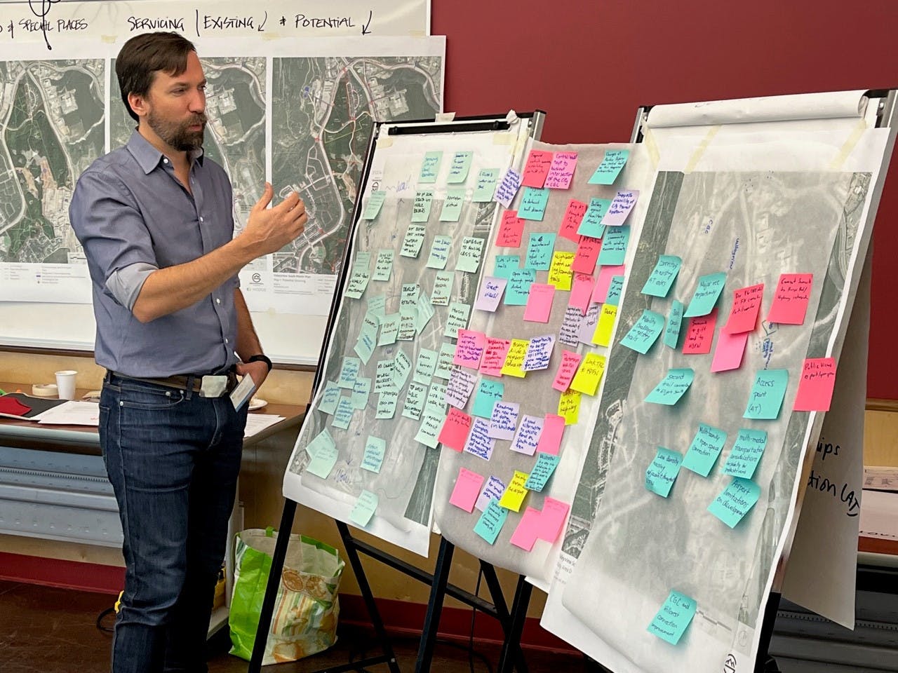
The project will be completed in four phases with three opportunities for public input. Phases 1 and 2 are technical phases to get the project started and compile and review existing information. Phases 3 and 4 are when the fun happens and your involvement is key. Things to look out for:

Phase 3 – Developing Vision – Survey (November 21 to December 12)

We will look to you to help develop the vision for the new neighbourhood. A short survey will be released on November 21, and will run for three weeks until Monday, Dec 12 at 11:59 pm to inform the concept designs.

Phase 4.1 – Developing the Concepts (Winter 2023)

Informed by technical background reports and your feedback, the area’s landowners, adjacent neighbourhood representatives, and technical advisors will develop two land use concepts over the course of a three-day design workshop. The details on what public engagement at this time will look like will be posted when available.

Phase 4.2 – Refining the Concepts (Spring 2023)

Once the two concepts are drafted, the public will have the opportunity to comment on them. This input will help create a single preferred land use concept. City staff will present this preferred land use concept and the associated report to Council for their endorsement.

After the master plan process, there will be additional opportunities for your input when landowners apply to rezone their properties.

Key Themes to be Addressed in the Master Plan

There are number of key issues related to the study area for this master plan, including:

Active Transportation Connections

The Valleyview South area has been used for active transportation for decades, and the City wants to honour that historic use. However, many of these trails are located on lands held by private landowners, or First Nations who have a right to develop. The master plan will seek to maintain and enhance key active transportation connections while also enabling development in the area.

Gravel Hauling

We know gravel excavation and hauling near neighbourhoods is a contentious issue in this area. The master plan will help determine if any future gravel hauling will be necessary to facilitate future development, and if so, how to mitigate adverse impacts.

Contamination

A large part of the study area used to be the White Pass Tank Farm, which was home to over 20 large petrochemical storage tanks. The fuel tanks were removed in the 1990s. The Government of Yukon (YG) designated the site as contaminated in 2011. Since then, substantial remediation efforts have been undertaken at private expense and portions of the site have received a Certificate of Compliance from YG. The master plan will provide direction for development of the areas no longer considered contaminated, as well as those requiring further clean-up, to ensure the area is safe for future residents.

Question and Answers

Do you have a question about the Valleyview South Master Plan? Questions about the process, purpose, outcomes, how to get involved, or anything else? 

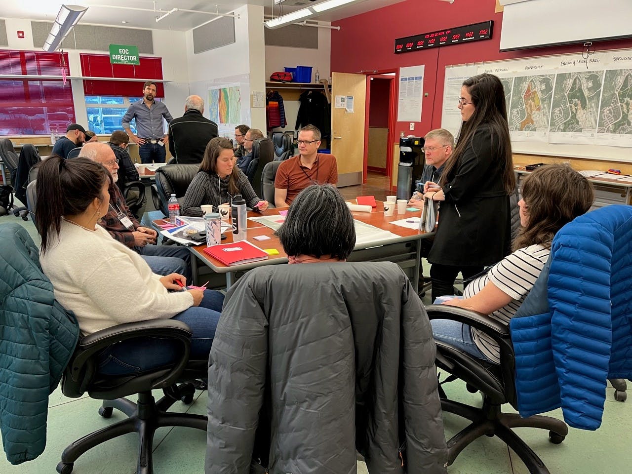
Our project team is made up of a diverse group of urban planners, transportation and infrastructure engineers, environmental specialists, urban designer, and public engagement specialists who are ready to answer all kinds of questions you might have.

Ask your question and a member of the project team will respond as soon as possible.

loader image
Didn't receive confirmation?
Seems like you are already registered, please provide the password. Forgot your password? Create a new one now.
  • Share Hello, I was just reviewing the Design Brief (Jan 25-27) and I have a question about the map. I am a Hillcrest resident. When the parcel of land along Wasson Place was rezoned to Industrial/Commercial, we were told that there would be a buffer zone of greenspace kept between the future Industrial/Commercial development and Hillcrest residences. But on this map, it looks like that land is included in the development area. The little greenspace that is nestled in between the Northerm factory and Summit Rd. is an important barrier from airport & industrial noise for those of us that live along Summit & Sunset North. Is this area going to be developed? on Facebook Share Hello, I was just reviewing the Design Brief (Jan 25-27) and I have a question about the map. I am a Hillcrest resident. When the parcel of land along Wasson Place was rezoned to Industrial/Commercial, we were told that there would be a buffer zone of greenspace kept between the future Industrial/Commercial development and Hillcrest residences. But on this map, it looks like that land is included in the development area. The little greenspace that is nestled in between the Northerm factory and Summit Rd. is an important barrier from airport & industrial noise for those of us that live along Summit & Sunset North. Is this area going to be developed? on Twitter Share Hello, I was just reviewing the Design Brief (Jan 25-27) and I have a question about the map. I am a Hillcrest resident. When the parcel of land along Wasson Place was rezoned to Industrial/Commercial, we were told that there would be a buffer zone of greenspace kept between the future Industrial/Commercial development and Hillcrest residences. But on this map, it looks like that land is included in the development area. The little greenspace that is nestled in between the Northerm factory and Summit Rd. is an important barrier from airport & industrial noise for those of us that live along Summit & Sunset North. Is this area going to be developed? on Linkedin Email Hello, I was just reviewing the Design Brief (Jan 25-27) and I have a question about the map. I am a Hillcrest resident. When the parcel of land along Wasson Place was rezoned to Industrial/Commercial, we were told that there would be a buffer zone of greenspace kept between the future Industrial/Commercial development and Hillcrest residences. But on this map, it looks like that land is included in the development area. The little greenspace that is nestled in between the Northerm factory and Summit Rd. is an important barrier from airport & industrial noise for those of us that live along Summit & Sunset North. Is this area going to be developed? link

    Hello, I was just reviewing the Design Brief (Jan 25-27) and I have a question about the map. I am a Hillcrest resident. When the parcel of land along Wasson Place was rezoned to Industrial/Commercial, we were told that there would be a buffer zone of greenspace kept between the future Industrial/Commercial development and Hillcrest residences. But on this map, it looks like that land is included in the development area. The little greenspace that is nestled in between the Northerm factory and Summit Rd. is an important barrier from airport & industrial noise for those of us that live along Summit & Sunset North. Is this area going to be developed?

    Karen asked about 1 year ago

    Hello, 

    Thank you for your question and sorry for the delayed response.  The study area of the Valleyview South Master Plan does not mean everywhere within the boundary will be developed.  It's a plan that will outline the best uses within the area, which may include buffers, trails, and open space, as well as residential uses. On June 14, we anticipate releasing the 2 land use scenarios to gather public feedback.  The scenarios will illustrate options for the entire area, including the area you're interested in.

    I encourage you to subscribe to this project to stay informed and get notified when the scenarios are released for public input.

    Thanks again for your question,

    Karmen

Page last updated: 10 Apr 2024, 04:02 PM